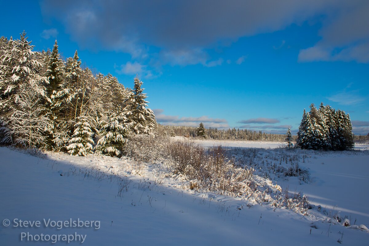
Winter Weather
The winter season poses a range of threats when it comes to weather. High winds, freezing rain/sleet, heavy snowfall, and extreme cold are the most common with winter storms. Impassable snow drifts and dangerous temperatures can trap people at home or in their vehicles.
This page will give you a basic overview of winter weather terms, safety information, and NWS alert types. We encourage you to check out the references section on the bottom of the page to learn how to prepare your vehicles, house, and family for hazardous winter weather.
Winter Weather Terminology:
-
Snow Squall:
A heavy, but limited duration of moderate to heavy snowfall containing high winds leading to reduced visibility or whiteout conditions. This creates treacherous travel conditions.
-
Blizzard:
Blowing and/or falling snow with winds of at least 35 MPH. This limits visibility to 1/4 of a mile or less for a minimum of three hours.
-
Freezing Rain:
Rain falls on a surface that is below a freezing temperature. This causes the rain to freeze upon contact. Ice can lead to down trees and power lines and can also line the roads making travel dangerous.
-
Sleet:
Rain or melted snow that has begun refreezing when it hits the ground. This is usually softer than hail and can make roads slick.
Steps to Prepare for a Winter Storm
During a Winter Storm:
-
Be careful with space heaters and fireplaces.
- Keep anything that can catch fire at least 3ft from the heat source
- Do not leave heaters unattended
- Use heaters with safety features such as auto shut of and over heating protection.
-
Avoid travel, but If you just travel, be prepared by doing the following:
- Have an emergency kit, food, blankets, and water in your vehicle
- Travel during the daytime
- allow for extra travel time
- Bring a charged cell phone
- Share your travel plans with others
-
Check in on neighbors, especially the elderly and children
-
Keep warm and watch for frostbite and hypothermia
Winter Storm Alerts
-
Winter Weather Advisory:
Issued when the following criteria is expected:
- Snow: 3-5 inches in 12 hours
- Sleet: Less than 1/2 inch in the next 24 hours
- Freezing Rain/Drizzle: Less than 1/4 of an inch
- Blowing Snow: Visibility reduced to 1/4 of a mile due to blowing snow with less than 35 MPH winds
-
Winter Storm Watch:
Issued when any of the following is expected to occur:
- Snow: At least 6 inches or more in 12 hours or at least 8 inches in 24 hours.
- Sleet: 1/2 inch or more
- Freezing Rain: 1/4 inch or more
-
Winter Storm Warning:
Issued when any of the following criteria are expected to occur:
- Snow: At least 6 inches or more in 12 hours or 8 inches in 24 hours
- Sleet: 1/2 inch or more
- A combination of snow or sleet reaching the above criteria with freezing rain and/or winds of at
least 25 MPH
-
Blizzard Warning:
Issued when any of the following is expected to occur: A combination of sustained winds or frequent wind gusts of at least 35 MPH and visibility less than 1/4 mile due to snow or blowing snow for at least 3 consecutive hours
-
Ice Storm Warning:
A freezing rain event with ice accumulations expected to be 1/4 of an inch or more
-
Snow Squall Warning:
Intense, limited duration of moderate to heavy snowfall accompanied by gusty winds causing reduced visibility or whiteout conditions
References and More Information:
Winter Weather Safety (weather.gov)
Winter Weather (ready.gov)
Winter Storm Safety (redcross.org)
Cold Weather Safety (weather.gov)